Intrinsic to a National Relocation Strategy is the need to develop new vectorial mapping techniques, representing the spatio-temporal complexity of enviro-climatic situations. This approach focuses on the relational aspects and the dynamic nature of emerging enviro-climatic situations, going beyond static representations. Vectorial cartography, unlike traditional landscape depictions, offers a novel aesthetic and technique.
Sea Level Rises, Storm Surges, Floods, Extreme Weather and Cyclonic Events
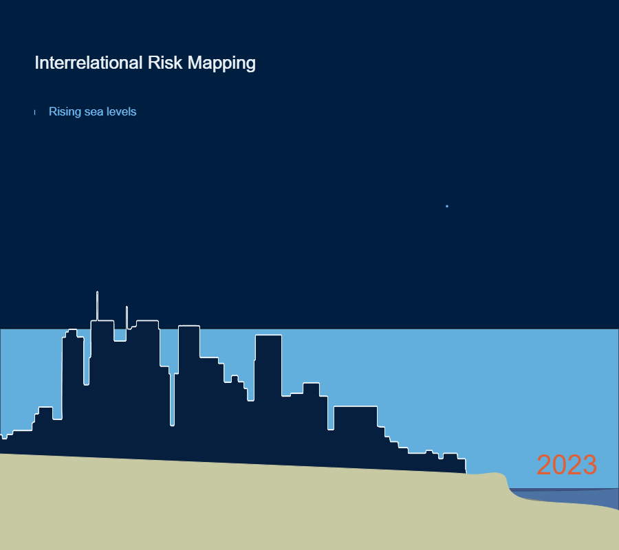
Sinking Cities are a modern global phenomenon. There are varied causes according to different locations and environments. Delta cities are especially prone to sink, often having been built on silt. It compresses under pressure, increasingly as the volume of the city's mass grows and is spatially concentrated. Rising sea levels can increase the volume of water absorbed by the silt, and this can increase problems by creating areas of sub-surface instability. Another factor is the extraction of groundwater. Jakarta is a well-known sinking city example – the north of the city has sunk 2.5 metres in the last 10 years.