Vectorial mapping isn’t a reclassification or reorganisation but presents a fundamentally new way for the public to comprehend and engage with enviro-climatic situations and risks. This departure from Cartesian observation explores risk as an evolving event, stemming from diverse, non-temporally bound sources. Recognizing risk events as already in progress allows communities to proactively engage rather than react to relocation. This shift in mapping approach offers a more dynamic and effective means of understanding and responding to the challenges of environmental and climatic change.
Heat, Drought, Fire
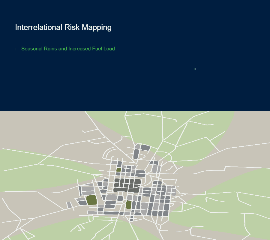
Heat is emerging as a dominant characteristic of our era, with records continually being shattered. The consequences
of heat are multifaceted: it evaporates water, reduces soil moisture, and bakes the earth, leading to vegetation die-off and the
accumulation of dry, flammable matter. This is exacerbated when increased fuel load is present from prior seasonal rains. A spark,
flame, or lightning strike can result in a bushfire with embers traveling significant distances at great speed when propelled by winds,
posing significant threat to natural ecosystems, and built environments alike.
Droughts not only prime fires but also harm or kill native species and farmed animals and disrupt agricultural production.
The escalating conditions induced by heat and drought are rendering parts of the world uninhabitable, and this situation is expected to
deteriorate. Heat poses a severe threat to human health, with children and the elderly particularly vulnerable, especially if they
have underlying health conditions.